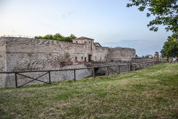
Collemar-athon
Fano, Italy · Expected Sunday 2 May 2027Date to be confirmed
Difficulty Calculator
Adjusted Time
4:00:14
Time difference: +0.2 minutes compared to an average road marathon.
Course Details
Typical Race-Day Weather
Average for this date over the last 8 years.
Collemar-athon course route, from the mapped course on GoAndRace.
How hard is Collemar-athon?
On our difficulty model, Collemar-athon plays about 1 minute faster than an average road marathon for a 3:30 runner. It ranks #528 hardest of 897 marathons we analyse, and #29 of 58 in Italy. Use the calculator above to see the exact adjusted time for your own goal pace.
What will you run at Collemar-athon?
Estimated finish times on this course versus the same effort on an average road marathon, based on its elevation, surface, and expected race-day temperature.
| Average-course time | On Collemar-athon | Difference |
|---|---|---|
| 3:00:00 | 2:58:02 | −01:58 |
| 3:30:00 | 3:29:03 | −00:57 |
| 4:00:00 | 4:00:14 | +00:14 |
| 4:30:00 | 4:31:34 | +01:34 |
| 5:00:00 | 5:03:02 | +03:02 |
| 5:30:00 | 5:34:37 | +04:37 |
| 6:00:00 | 6:06:18 | +06:18 |
Use the calculator above for your exact goal time. Want a prediction from your own training? Try the marathon time predictor.
Collemar-athon 2027 Course Analysis
Collemar-athon is a full marathon held in Fano, Italy. The next edition is expected on Sunday 2 May 2027, following the pattern of previous editions (the 1st Sunday of May). The organisers have not confirmed it yet. The course is run on road surface with 168m of total climbing and around 468m of descent (a net drop of roughly 300m), with its high point near 319m above sea level. For registration and full race details, visit the official Collemar-athon website.
Course map
Collemar-athon is a point-to-point course: the finish is 20 km north of the start in a straight line. The race map above shows the full route (42.2 km as mapped), with the start in green and the finish in black.
Climbing
This is a net-downhill course: it descends roughly 300m more than it climbs (168m of ascent against about 468m of descent), dropping from a high point near 319m toward 1m above sea level. Sustained descending fatigues the quads late in the race, so ease off early and do some downhill running in training.
Race-day weather
Over the last 6 years this May date has averaged a high of 21°C and a low of 13°C. That is warmer than 61% of the marathons we track. On our model the expected temperature costs a 3:30 marathoner about 3 minutes against the same course on a cool 12°C day.
On 2 May over the last 6 years, the high ranged from 16°C (2023) to 24°C (2025), so pack for either. It rained on 2 of those 6 days.
| 2 May | High | Low | Rain | Wind |
|---|---|---|---|---|
| 2026 | 20°C | 10°C | dry | 13 km/h |
| 2025 | 24°C | 12°C | dry | 15 km/h |
| 2023 | 16°C | 14°C | 21 h | 24 km/h |
| 2021 | 22°C | 12°C | dry | 32 km/h |
| 2020 | 22°C | 16°C | 9 h | 29 km/h |
| 2019 | 22°C | 12°C | dry | 24 km/h |
Daily weather for the race location (Open-Meteo archive). Wind is the day's peak.
Looking for an easier marathon or a tougher challenge? You can also compare Collemar-athon against other marathons to find the right race for your goals.
Marathons of similar difficulty
If Collemar-athon fits your goal, these courses play out about the same on our difficulty model.
Other Marathons in Italy
Verona Run Marathon
Verona, Italy
Gran Trail dell'Etna
Ragalna, Italy
Palermo Marathon
Palermo, Italy
Florence Marathon
Firenze, Italy
Torino City Marathon
Torino, Italy
Prosecco Marathon
Vidor, Italy